
Edmond Neighbors by the Block
Public records can answer several narrow questions about an Edmond block. The City GIS supplies parcel geometry, lot and block context, and city-limit layers. The Assessor then supplies an assessed owner, physical location, account details, and a separate mailing address. County Clerk land records can establish a recorded conveyance chain. These are not the same as a live household roster. An owner may live elsewhere, and a resident may have no recorded ownership interest in the parcel.
| Block source | What it reveals around an address | Edmond-area access |
|---|---|---|
| City GIS parcels | Touching or nearby geometry, parcel ID, lot, block, plat, and map context | Free city map service |
| County Assessor | Assessed owner, situs, mailing address, value, and property account | Free Public Access System |
| County Clerk ROD | Grantor, grantee, recording date, instrument, lien, or plat trail | OKCC.ONLINE and Clerk counter |
| Address locator and ward data | City-limit status, ZIP, plat, block, lot, ward, and service context | City address tool |
| Neighborhood and historical sources | Mapped neighborhood, participating organization, or past block context | City map, ENA, Museum, and OHS |
Start with the target parcel, then work outward one shared boundary at a time. For a named street rather than one immediate block, the Edmond street directory has the broader address-records trail.
Edmond Block Parcel Records
The Edmond GIS map service has address and parcel layers, plus City Limits, Outside Edmond City Limits, roads, schools, parks, zoning, and other context. The address layer carries elements such as house number, direction, street name and type, lot, block, plat, ZIP, and data-updated information. The parcel layer includes parcel identifiers, lot number, block number, plat name, and geometry. Use those fields to identify the land, not to assume the map gives legal title.
Edmond and the Oklahoma County Assessor began sharing parcel data in 1998. The city reports that the work raised address matching from 65 percent to 95 percent, with stated accuracy of three to ten feet. Parcel updates use aerials, plats, surveys, lot splits, and warranty deeds, generally every two to three months. That provenance makes GIS strong for a neighborhood view, while the Assessor and County Clerk remain the records to compare for ownership and instruments.
The city GIS service shows the available parcel, address, city-limit, street, school, park, and zoning layers that provide the starting context for Edmond neighbors.
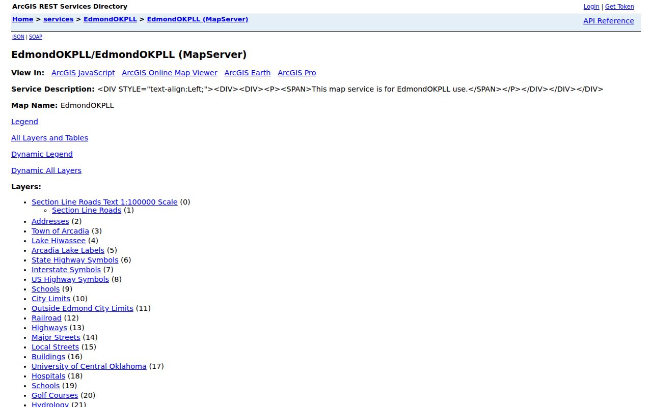
Record the parcel number, lot, block, plat, and the map's update information before moving to county ownership or deed records.
Edmond Block City-Limit Records
A postal Edmond address does not prove that the parcel sits inside the incorporated city. Use the Edmond address locator first. It accepts a house number, direction, street name, and suffix, and returns a city-limit result with ZIP, plat, block, lot, section and township-range, ward, and service information. The separate GIS layers for City Limits and Outside Edmond City Limits are important at the edge of the city.
Keep four fields distinct: the postal mailing address, the standardized GIS location, the Assessor's physical situs, and the owner's mailing address. A neighboring owner can receive mail in another city. A rural or edge parcel can use an Edmond postal label. Neither fact identifies every person living nearby.
The address-locator view shows the required address format and the city, ZIP, plat, lot, ward, and service details returned for an address.
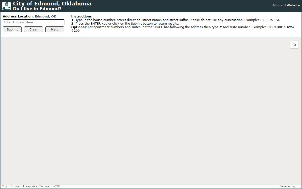
Use the locator result as a geography check before comparing neighbors through county records or community sources.
Note: City limits, postal delivery areas, and a parcel's legal description each describe a different part of an Edmond address.
Map an Edmond Block Through Parcels
Start at one exact address and preserve the clues that explain where it sits. The map can show parcels sharing a boundary, but proximity does not identify an occupant. Then move each parcel through the appropriate county record. Owner names should be treated as an ownership lead, not as proof that the person currently lives there. A separate mailing address may show an absentee owner, while a property can have more than one owner or no clear street address in the Assessor detail.
- Search the address in the City GIS, open its parcel polygon, and record PARCELID or parcel number, lot, block, plat, orientation, and city-limit context.
- Identify only parcels with a shared boundary. Note their parcel IDs and legal lot or block information rather than guessing from house placement.
- Run each parcel through the Oklahoma County Assessor search, comparing owner, physical situs, account, and mailing details.
- Use the County Clerk land index for a deed, easement, shared-drive, plat, or lien question. Switch to the street directory only when the task expands beyond the immediate block.
That flow keeps parcel geometry, assessed ownership, and recorded title in separate columns of thought. It also avoids turning a map radius into a claim about every household on the block.
Edmond Neighbor Ownership Records
For an adjacent parcel, the Assessor search accepts owner name, physical address, real account number, or personal account number. A real account number begins with R and has nine digits; a personal account begins with P and has seven digits. The physical-address search needs a direction unless a wildcard is used. Detail results can show the owner, parcel PIN, property location, assessment values, exemptions, sales, and related property detail. The Assessor describes an assessment record, not a certified deed.
For the legal chain, OKCC.ONLINE offers Registrar of Deeds searching by name, address, document type, book and page, instrument number or PID, and advanced modes. A result can show grantor, grantee, recording date, document type, and instrument number. Open or request the instrument when its legal description, prior reference, or signatures matter. Some sensitive document types and images are not available online, and the Clerk counter is the fallback.
A tax account adds a different signal. The Treasurer's public search covers the current year and six prior years, plus unpaid accounts regardless of year. It is useful for account and tax-status questions, but it does not certify title or prove who occupies a home.
- Parcel
- A mapped piece of land used by local property systems. It can have a street address, a legal description, or both.
- Situs address
- The physical location of the property. It can differ from where an owner receives mail.
- Plat
- A recorded map that divides land into lots, blocks, and additions. It can bridge a current address to a legal description.
Edmond Neighborhood Map Records
Public block context also comes from the City's Neighborhoods map service. It includes Neighborhood and NBHD_LOOKUP resources with apartments, parks, schools, and golf-course layers. The map can identify the geography attached to a block, but it is not a city-maintained roster of people or a list of every association in Edmond.
The neighborhood map source provides the mapped context used for a block check. Combine it with the parcel layers rather than assuming a neighborhood label marks a precise boundary for every resident.
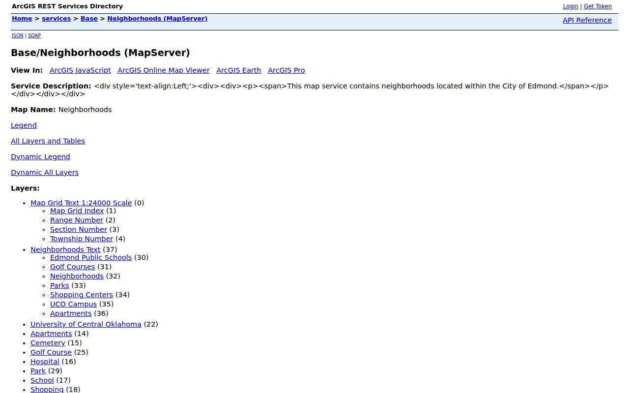
The map can connect a parcel to a neighborhood layer, while County records remain the source for property and instrument questions.
The City also posts EdmondBuilds reports for Chitwood Park, Rossmore District, Highland Park, and Sunset. Those 2025 reports describe assets, stakeholders, infrastructure issues, and organization status. They add current civic context, not personal contact data.
Edmond Community Group Records
The Edmond Neighborhood Alliance is a voluntary partnership of neighborhood organizations, established in 1994. Its board information can help direct a question about participating organizations or a historical neighborhood connection. It is not a government directory and does not publish a resident roster. The relationship is useful because it shows which groups may be able to explain local organization boundaries or community history without exposing private household information.
Edmond Neighborhood Alliance
Voluntary neighborhood-organization umbrella. Board affiliations include Old Towne, Bradbury Corner, Orchard at Trails, Thunderhead Hills, Asheforde Oaks, Chimney Hill, Coffee Creek II, and S Huntwick II.
PO Box 2904, Edmond, OK 73083.
Edmond History Museum
For a historical block question, its research library has local directories, Edmond Sun microfilm, yearbooks, cemetery records, and family-history materials.
431 S. Boulevard, Edmond, OK; (405) 340-0078.
Ask an organization for publicly available meeting, planning, or neighborhood-history information. Do not treat membership, participation, or a community-map label as confirmation of a person's home address.
Edmond Block Records and Listings
Official sources tell a reader what their custodian maintains. Unofficial commercial neighbor listings can blend public records, older directories, and copied data, but their update practices and source paths are not the same. Use the official record when a parcel boundary, ownership, court document, or election-access rule matters.
| Official record route | Commercial neighbor listings |
|---|---|
| Identifies the office and source field, such as a parcel, instrument number, or docket. | May combine copied or older information without showing the underlying custodian. |
| Provides a counter, request, or record-specific fallback when the web view is incomplete. | May not explain how to correct a copied entry or whether it remains current. |
| Has stated privacy limits and redactions under Oklahoma law. | Does not replace the privacy rules that apply to a government record. |
For a disputed fact, return to the Assessor, County Clerk, Court Clerk, Election Board, or City custodian that actually maintains the source record.
Privacy Limits on an Edmond Block
A block search has clear boundaries. Utility and delivery data are not public resident rolls. Public voter data excludes driver-license and Social Security numbers, phone numbers, and email fields. The Election Data Warehouse is not a simple public block roster; access has eligibility requirements under 26 O.S. §7-103.2, and privacy programs restrict some addresses. A parcel map can place land beside land, but it cannot establish every person living behind each door.
Oklahoma's Address Confidentiality Program gives eligible participants a substitute address and keeps their actual location protected. Restricted Records voters have separate protections for residence and mailing address. Do not publish protected addresses, full dates of birth, identity numbers, minor information, or financial-account data. If a County record needs correction or redaction, ask the original custodian about its procedure.
Lawful use. Use information about Edmond neighbors for personal, lawful research and community context. Oklahoma law prohibits stalking and repeated conduct that causes fear, intimidation, harassment, or molestation.
Note: A nearby parcel, owner name, or neighborhood label is a record clue, not permission for repeated contact or a statement of who lives at an address.